SIMILKAMEEN VALLEY PLANNING SOCIETY
ABOUT THE SVPS
The Similkameen Valley Planning Society (SVPS) supports tourism as part of its overall economic and community development mandate.
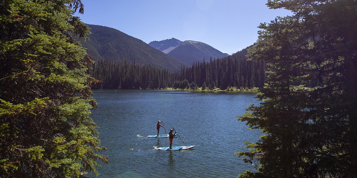
The Similkameen Valley is located in the southern interior of British Columbia, extending from Richter Pass in the east to the Similkameen River’s headwaters in Manning Park in the west. Primary access is along Highway 3 (Crowsnest). The Similkameen Valley is part of the Thompson Okanagan region of British Columbia, and Similkameen Country is the gateway to the Okanagan Valley and the Kootenay Rockies.
The Similkameen Valley is the ancestral, traditional and unceded territory of the Syilx Nation, and is home to the Upper Similkameen Indian Band—the Similamix People—and the Lower Similkameen Indian Band—the Smelqmix People.
KEY COMMUNITIES, PARKS AND HAMLETS INCLUDE: Manning Provincial Park, Eastgate, Princeton, Tulameen, Coalmont, Bromley Rock Provincial Park, Hedley, Keremeos, Cawston, Cathedral Provincial Park, Olalla, Chopaka
The Similkameen Valley Planning Society (SVPS) Board of Directors
Regional District Okanagan Similkameen Area G, Keremeos Rural/Hedley – Tim Roberts, Director, SVPS Chair chair@similkameenvalley.com
Town of Princeton, Spencer Coyne, Mayor, Vice Chair SVPS
Lower Similkameen Indian Band, (LSIB) Keith Crow, Chief
Regional District Okanagan Similkameen Area B, Cawston – George Bush, Director
Regional District Okanagan Similkameen Area H, Manning Park – Bob Coyne, Director
Village of Keremeos – Garry Elliott, Councilor
Village of Keremeos – Jason R. Wiebe, Mayor, Past Chair SVPS